Map of the USA
Explore a map of the USA showing all 50 states and U.S. time zones. Download and print US maps, find states and time zones, and learn more about the United States through maps and visual guides.
ADVERTISEMENT
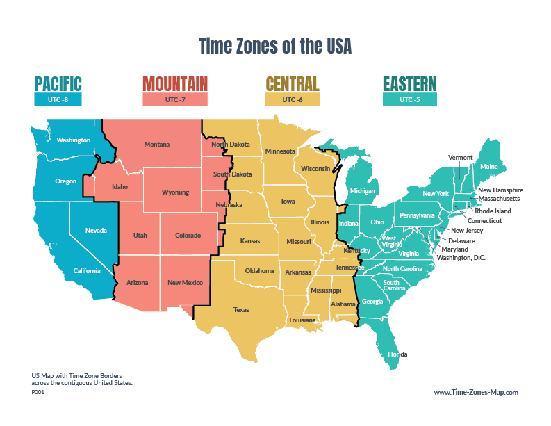
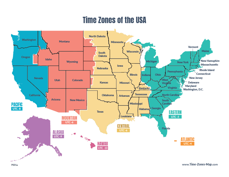
USA time zone maps
The United States spans several time zones. The 50 states primarily use six major time zones, listed on the right.
It can get confusing at times for sure, that's why these interactive time zone tools and downloadable maps are here to help.
List of US time zones
- Eastern
- Central
- Mountain
- Pacific
- Alaska
- Hawaii-Aleutian Time Zone
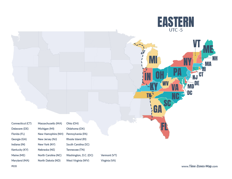
Interactive time zone maps
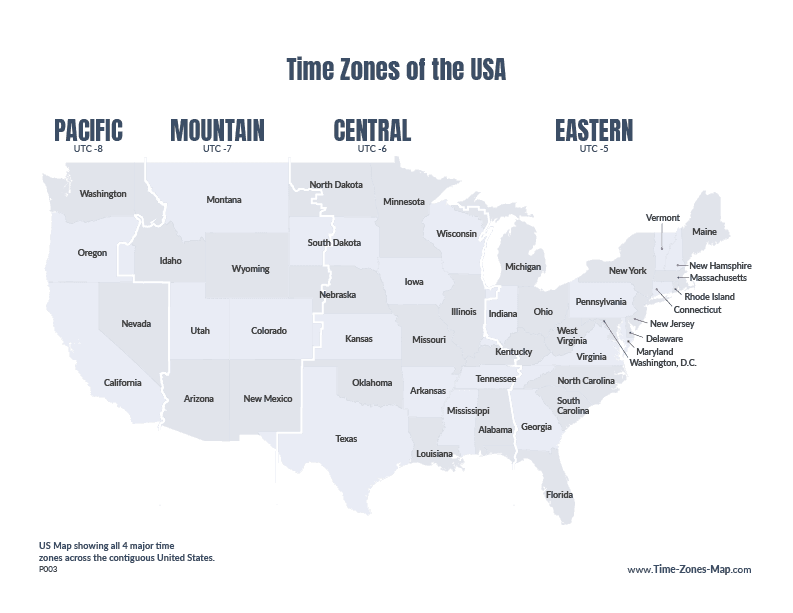
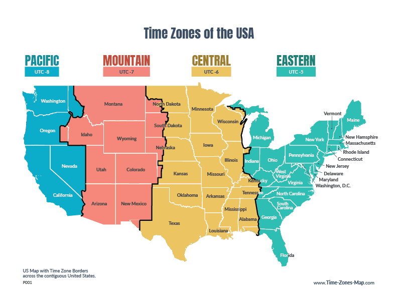
Printable maps showcasing the different US time zones
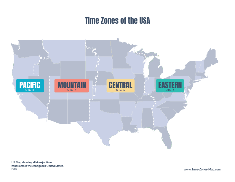
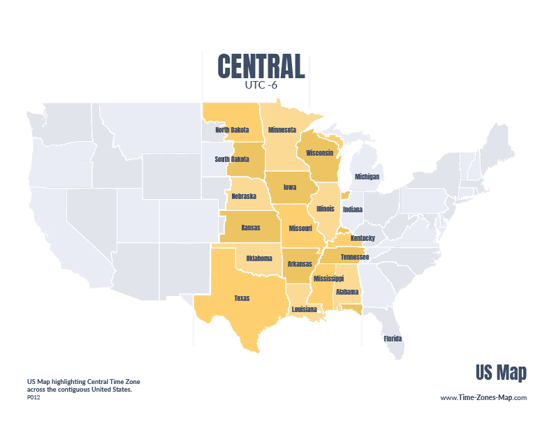
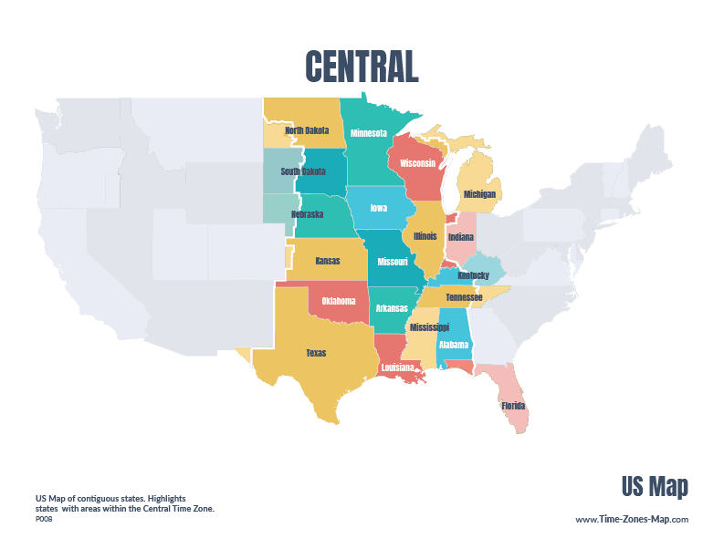


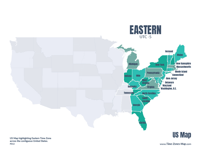



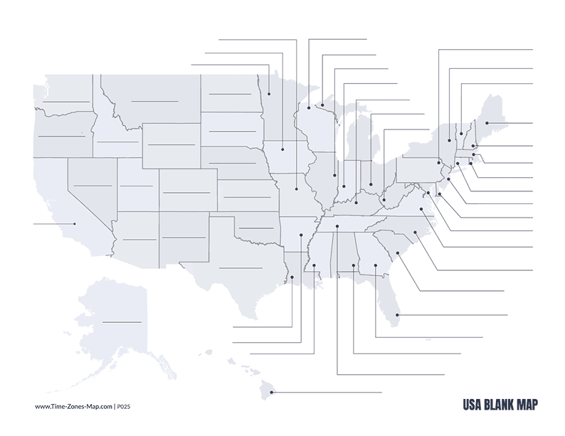
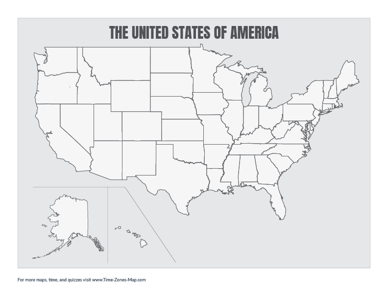
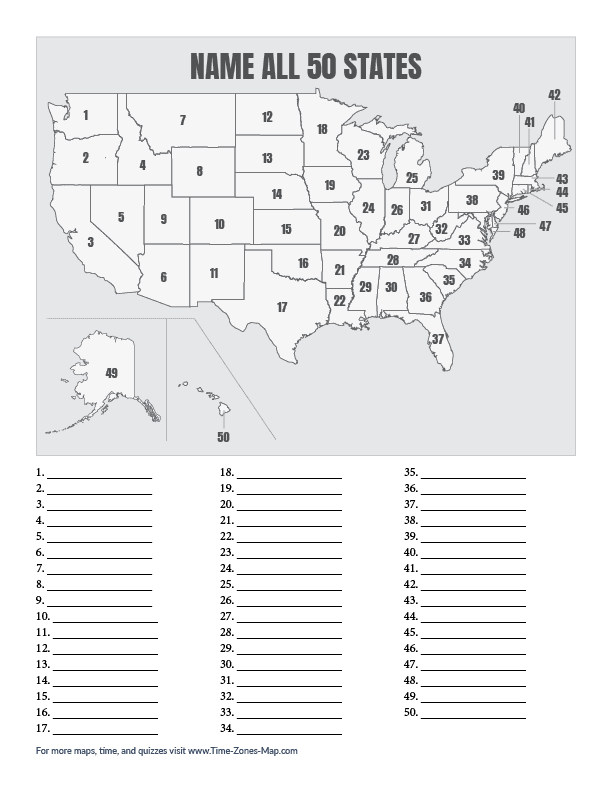
Blank US Maps
Starting with a clean state is always nice, that's why we offer a variety of blank US maps to get started. They're perfect for teaching, learning, and crafty projects.
Using these for clever projects? We'd love to see it! Share your creations with us: hello [at] time-zones-map.com
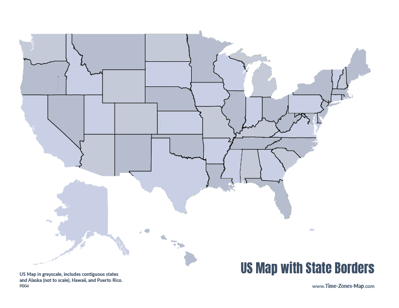
List of the 50 states
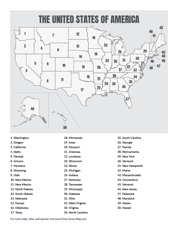
The United States is made up of 50 states, ranging from Alaska, the largest by area, to Rhode Island, the smallest. Each state has its own boundaries, capital, government, and history.
Some states can be massive, for example, did you know Alaska is larger than Texas, California, and Montana combined?!? Here's a quick reference list of all 50 states and once you think you can name them, test your knowledge and get some bragging rights with the 50 states quiz.

- Alabama AL
- Alaska AK
- Arizona AZ
- Arkansas AR
- California CA
- Colorado CO
- Connecticut CT
- Delaware DE
- Florida FL
- Georgia GA
- Hawaii HI
- Idaho ID
- Illinois IL
- Indiana IN
- Iowa IA
- Kansas KS
- Kentucky KY
- Louisiana LA
- Maine ME
- Maryland MD
- Massachusetts MA
- Michigan MI
- Minnesota MN
- Mississippi MS
- Missouri MO
- Montana MT
- Nebraska NE
- Nevada NV
- New Hampshire NH
- New Jersey NJ
- New Mexico NM
- New York NY
- North Carolina NC
- North Dakota ND
- Ohio OH
- Oklahoma OK
- Oregon OR
- Pennsylvania PA
- Rhode Island RI
- South Carolina SC
- South Dakota SD
- Tennessee TN
- Texas TX
- Utah UT
- Vermont VT
- Virginia VA
- Washington WA
- West Virginia WV
- Wisconsin WI
- Wyoming WY
US map of states and with US state abbreviations
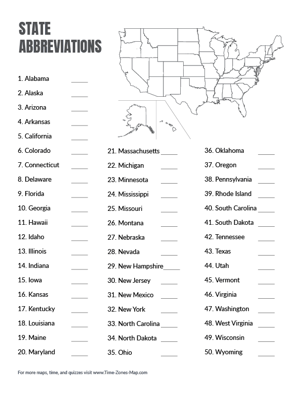
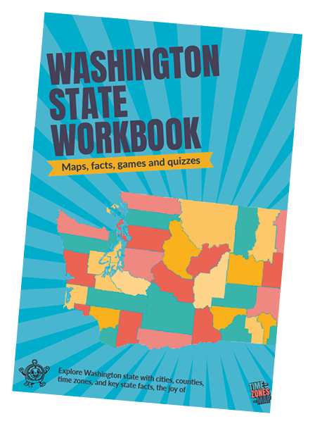
Explore states, one page at a time
Our downloadable workbooks are filled with fun facts, activities, and games is almost ready for its big debut. Share your email to be notified when the workbook is available!